✦Introduction✦
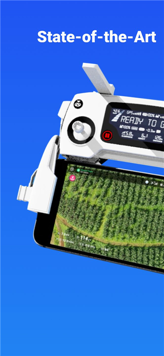
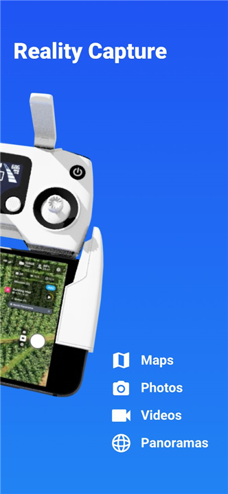
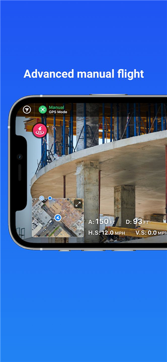
DroneDeploy stands out as the premier cloud software platform for commercial drones, making aerial data both accessible and efficient for everyone. The complimentary DroneDeploy app simplifies automated flight and data collection, allowing you to create and share stunning interactive maps, orthomosaics, and 3D models right from your mobile device.
------------------------------------------
✦ App Features ✦
• Automated Flight Planning
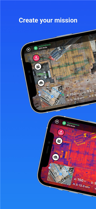
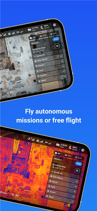
Create and execute flight plans with ease, including automated takeoff, flight, image capture, and landing.
• Live FPV Streaming
Stream live first-person view (FPV) footage from your drone to your mobile device.
• Customizable Flight Plans
Disable auto-flight and resume control with a single tap.
• In-Field Data Analysis
Explore and analyze interactive maps, orthomosaics, and 3D models on your mobile device.
• Measurement Tools
Measure elevation, distance, area, and volume (for paid customers).
• Collaboration
Share maps and collaborate with team members through comments.
• Image Processing and Analysis
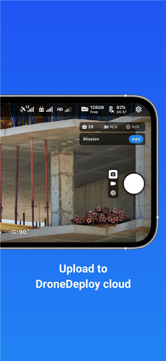
Upload imagery to www.dronedeploy.com for high-resolution 3D map processing and export data in various formats.
• Ground Control Point Processing
Process ground control points to create high-accuracy maps
------------------------------------------
What's New in the Latest Version 5.46.0
Minor bug fixes and improvements. Install or update to the newest version to check it out!
- AppSize114.84M
- System Requirements5.0 and up
- Is there a feeFree(In game purchase items)
- AppLanguage English
- Package Namecom.dronedeploy.beta
- MD5e2c37341a9e06d3fc38edb671dab1c1d
- PublisherDroneDeploy
- Content RatingTeenDiverse Content Discretion Advised
- Privilege19
-
DroneDeploy - Mapping for DJI 5.46.0Install
114.84M2025-04-22Updated
9.4
9838 Human Evaluation
- 5 Star
- 4 Star
- 3 Star
- 2 Star
- 1 Star


