✦Introduction✦
This versatile mapping and surveying application serves both professional and personal needs.
It plays a crucial role in various land-based surveying tasks, including agriculture, forest management, infrastructure upkeep (like roads and electrical systems), urban planning, real estate, and emergency mapping. Additionally, it supports personal outdoor pursuits such as hiking, running, walking, traveling, and geocaching.
------------------------------------------
✦ APP FEATURES ✦
----------------MAIN FEATURES ----------------
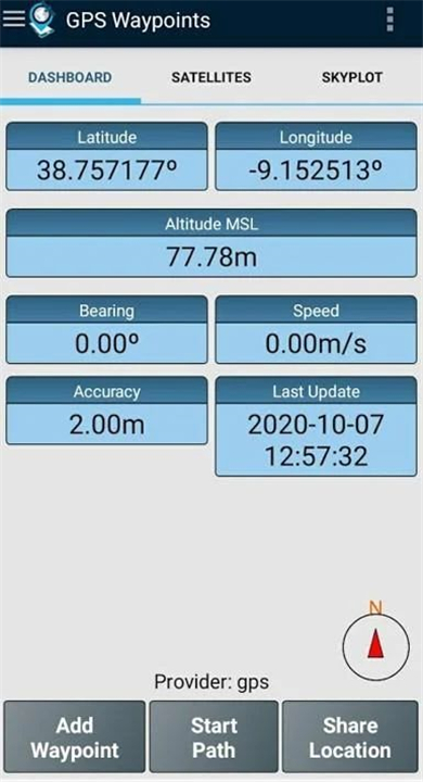
• Acquire current position: Get your current location with accuracy and navigation information.
• Provide satellite details: View details of the active and visible satellites (GPS, GLONASS, GALILEO, BEIDOU, and others).
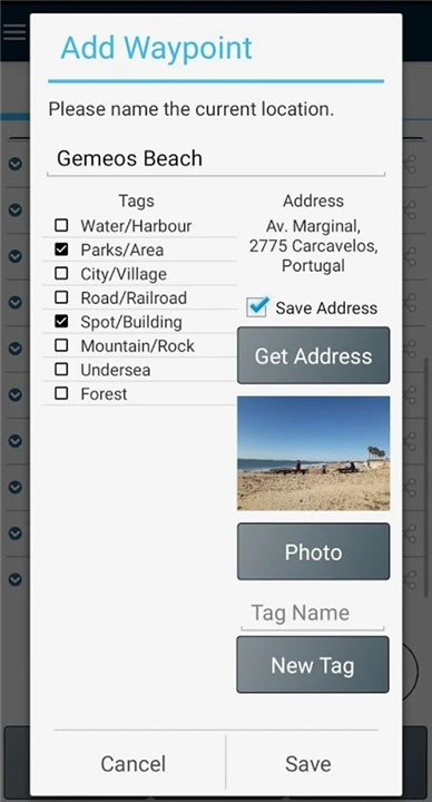
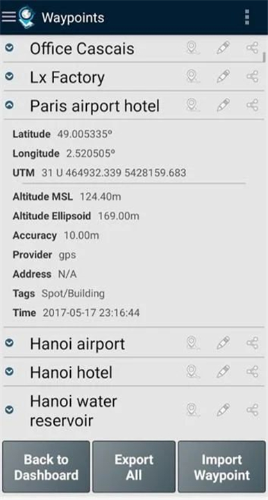
• Create Points: Create points with accuracy information, classify them with tags, attach photos, and convert coordinates into a human-readable address (reverse geocoding).
• Import Points: Import points from geographic coordinates (lat, long) or by searching for a street address/point of interest (geocoding).
• Create Paths: Create paths by acquiring sequences of points manually or automatically.
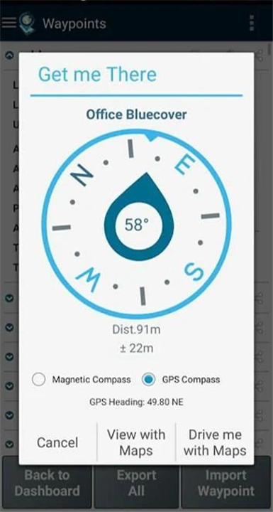
• Get directions and distances: Get directions and distances from your current position to points and paths using a magnetic or GPS compass.
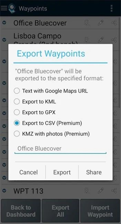
• Export Points and Paths: Export points and paths to KML and GPX file formats.
• Share data: Share data with other applications (e.g., Dropbox/Google Drive).
----------------PREMIUM FEATURES----------------
• Backup and restore data: Backup and restore your user data, including transferring data from one device to another.
• Export to CSV: Export waypoints and paths to CSV file format.
• Export with photos: Export waypoints with photos to KMZ file format.
• Import multiple points and paths: Import multiple points and paths from CSV and GPX files.
• Sort and filter points and paths: Sort and filter points and paths by creation time, name, and proximity.
• Satellite signal analysis: Analyze satellite signals and detect interferences.
------------------------------------------
What's New in the Latest Version 3.12
Minor bug fixes and improvements. Install or update to the newest version to check it out!
- AppSize14.25M
- System Requirements5.0 and up
- Is there a feeFree(In game purchase items)
- AppLanguage English
- Package Namept.bluecover.gpsegnos
- MD5976657a5b2d2ec2dc318a3d3ce050055
- PublisherBluecover Technologies
- Content RatingTeenDiverse Content Discretion Advised
- Privilege19
-
GPS Waypoints 3.12Install
14.25M2025-04-22Updated
8.4
1924 Human Evaluation
- 5 Star
- 4 Star
- 3 Star
- 2 Star
- 1 Star


